 VijiTek
Interactive map
Search for a place, explore layers or plan a route in your browser.
 VijiMaps
Find a place, show the map layers you need, and plan how to get there. VijiMaps runs in your browser on a vector basemap built from OpenStreetMap data.
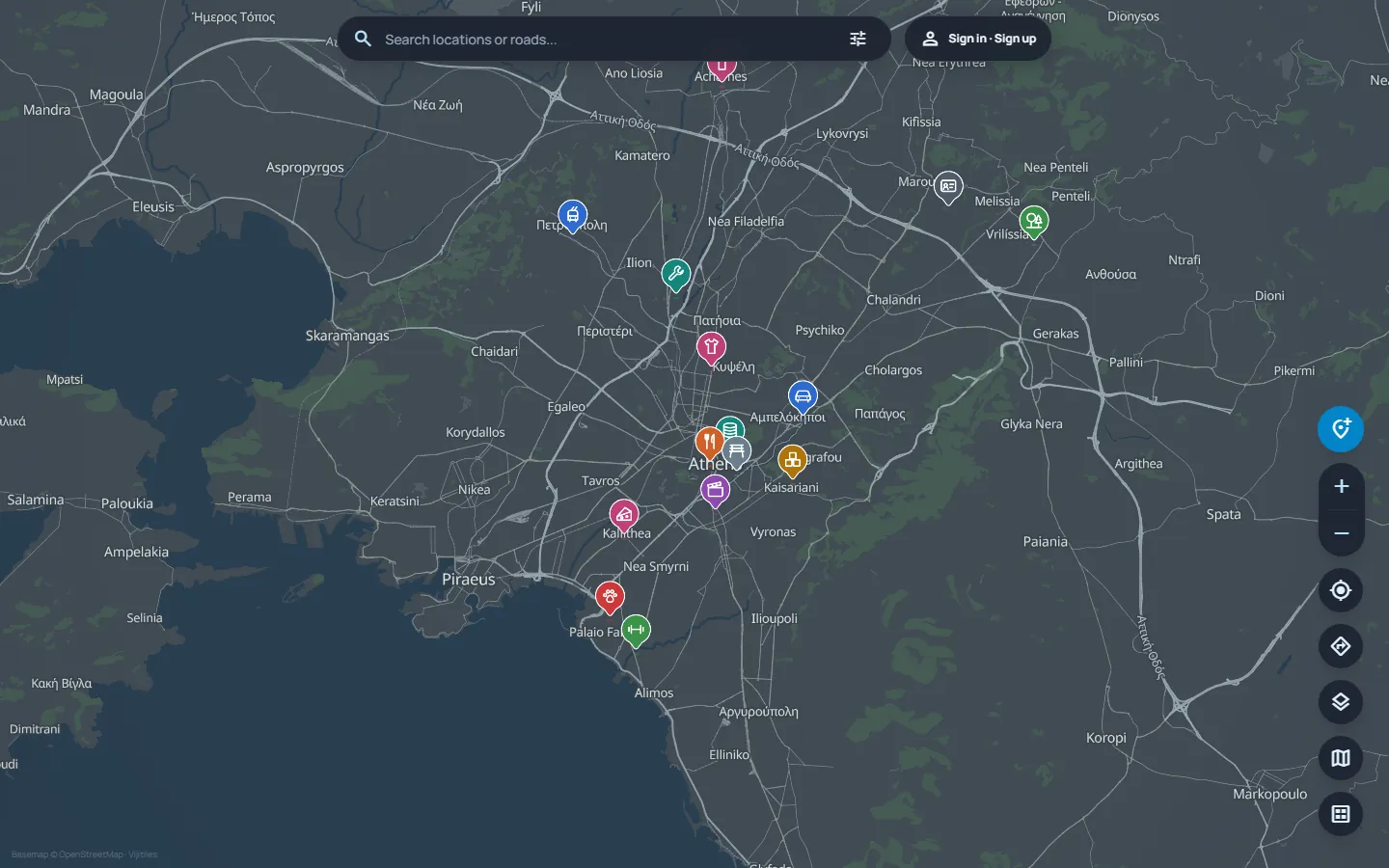
Start with a search or browse the map to see what is nearby.
Search for a location or road by name and jump to it on the map.
Show points of interest, roads or areas. Use quick filters for features such as islands, waterways and transport lines.
Open the route planner from the map and choose a starting point and destination.
The browser interface for exploring map layers and planning directions.
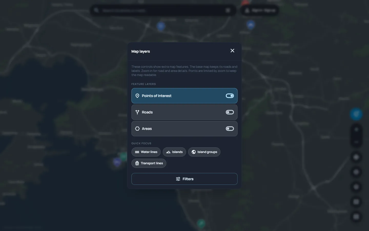
Toggle extra features or use a quick filter to focus on what you are looking for.
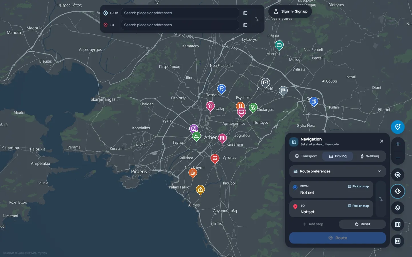
Set a starting point and destination while keeping the surrounding map in view.
The map uses the self-hosted VijiTiles pipeline to turn OpenStreetMap data into vector tiles.
Planetiler prepares the tile data from OpenStreetMap extracts.
Martin serves the tiles, and MapLibre renders them in the browser using the published map style.
Open the interactive map or read about the infrastructure that serves it.
Search for a place, explore layers or plan a route in your browser.
Follow the pipeline from OpenStreetMap data to a published MapLibre style.
Basemap data © OpenStreetMap contributors
Search for a place to start exploring.